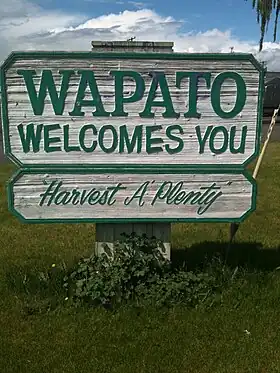
Wapato
Wapato est une ville américaine située dans le comté de Yakima, dans l’État de Washington. Le recensement de 2010 a indiqué une population de 4 997 habitants.
| Wapato | ||||
| ||||
| Administration | ||||
|---|---|---|---|---|
| Pays | ||||
| État | ||||
| Comté | Yakima | |||
| Type de localité | City | |||
| Code ZIP | 98951 | |||
| Code FIPS | 53-76125 | |||
| GNIS | 1512774 | |||
| Indicatif(s) téléphonique(s) local (locaux) | 509 | |||
| Démographie | ||||
| Population | 4 997 hab. (2010) | |||
| Densité | 1 999 hab./km2 | |||
| Géographie | ||||
| Coordonnées | 46° 26′ 44″ nord, 120° 25′ 19″ ouest | |||
| Altitude | 261 m |
|||
| Superficie | 250 ha = 2,5 km2 | |||
| · dont terre | 2,5 km2 (100 %) | |||
| · dont eau | 0 km2 (0 %) | |||
| Fuseau horaire | PST (UTC-8) | |||
| Divers | ||||
| Fondation | 1885 | |||
| Municipalité depuis | 1908 | |||
| Localisation | ||||
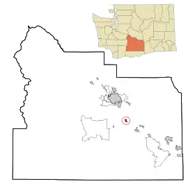 Carte du comté de Yakima. | ||||
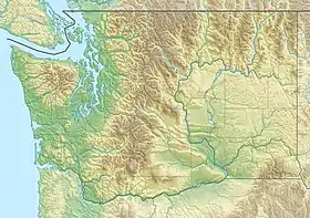
| Géolocalisation sur la carte : États-Unis
Géolocalisation sur la carte : États-Unis
Géolocalisation sur la carte : Washington
| ||||
| Liens | ||||
| Site web | http://www.wapato-city.org | |||
_relief_location_map.png.webp)
_location_map.svg.png.webp)
Histoire
Fondée en 1885, la localité s’appelait alors Simcoe. Pour éviter toute confusion avec Fort Simcoe, elle a été rebaptisée Wapato en 1903. La ville a été incorporée le .
Environ 75 % de la population (probablement 85 % en incluant les clandestins) est d’origine hispanique.
Cet article est issu de Wikipedia. Le texte est sous licence Creative Commons – Attribution – Partage à l’identique. Des conditions supplémentaires peuvent s’appliquer aux fichiers multimédias.