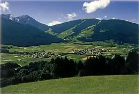
Valdaora
Valdaora (en allemand, Olang) est une commune italienne d'environ 3 200 habitants située dans la province autonome de Bolzano dans la région du Trentin-Haut-Adige dans le nord-est de l'Italie.
| Valdaora | ||||
 Armoiries |
||||
| ||||
| Noms | ||||
|---|---|---|---|---|
| Nom allemand | Olang | |||
| Administration | ||||
| Pays | ||||
| Région | ||||
| Province | ||||
| Code postal | 39030 | |||
| Code ISTAT | 021106 | |||
| Code cadastral | L552 | |||
| Préfixe tel. | 0474 | |||
| Démographie | ||||
| Gentilé | valdaorini | |||
| Population | 3 177 hab. ([1]) | |||
| Densité | 66 hab./km2 | |||
| Géographie | ||||
| Coordonnées | 46° 46′ 00″ nord, 12° 02′ 00″ est | |||
| Superficie | 4 800 ha = 48 km2 | |||
| Localisation | ||||
.svg.png.webp) Localisation dans la province autonome de Bolzano. | ||||
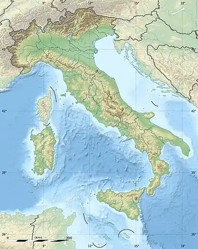
| Géolocalisation sur la carte : Italie
Géolocalisation sur la carte : Italie
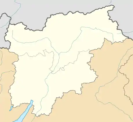
Géolocalisation sur la carte : Trentin-Haut-Adige
| ||||
| Liens | ||||
| Site web | Site officiel | |||
Culture
Administration
Hameaux
Sorafurcia, Valdaora di Mezzo, Valdaora di Sotto, Valdaora di Sopra
Communes limitrophes
Les communes limitrophes sont Braies, Brunico, Marebbe, Monguelfo-Tesido et Rasun Anterselva.
Notes et références
 Portail de la géographie
  Portail du Trentin-Haut-Adige
Cet article est issu de Wikipedia. Le texte est sous licence Creative Commons – Attribution – Partage à l’identique. Des conditions supplémentaires peuvent s’appliquer aux fichiers multimédias.