Santa Iria da Ribeira de Santarém
Santa Iria da Ribeira de Santarém est une freguesia portugaise située dans le District de Santarém.
| Santa Iria da Ribeira de Santarém | |
 Héraldique |
|
| Administration | |
|---|---|
| Pays | |
| Région | Alentejo |
| Sous-région | ? |
| District | District de Santarém |
| Concelho | Santarém |
| Démographie | |
| Population | 1 021 hab. (2001) |
| Densité | 70 hab./km2 |
| Géographie | |
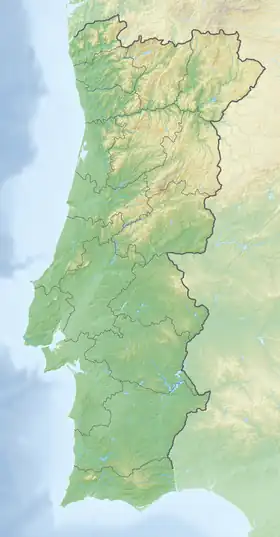
| Coordonnées | 39° 15′ 33″ nord, 8° 38′ 23″ ouest |
| Superficie | 14,53 km2 |
| Fuseau horaire | Portugal |
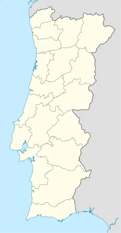
| Localisation | |
Avec une superficie de 14,53 km2 et une population de 1 021 habitants (2001), la paroisse possède une densité de 70,3 hab/km2.
Municipalités limitrophes
 |
São Salvador | Alcanhões | Vale de Figueira Alpiarça |
|
| São Salvador | N | Alpiarça | ||
| O Santa Iria da Ribeira de Santarém E | ||||
| S | ||||
| Marvila | Almeirim | Almeirim |
Cet article est issu de Wikipedia. Le texte est sous licence Creative Commons – Attribution – Partage à l’identique. Des conditions supplémentaires peuvent s’appliquer aux fichiers multimédias.