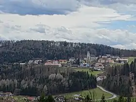
Sankt Bartholomä
Sankt Bartholomä est une commune autrichienne du district de Graz-Umgebung en Styrie.
| Sankt Bartholomä | |
 Héraldique |
|
| |
| Administration | |
|---|---|
| Pays | |
| Land | |
| District (Bezirk) |
District de Graz-Umgebung |
| Maire | Josef Birnstingl (ÖVP) |
| Code postal | A-8113, 8151 |
| Indicatif | +43 3123 |
| Code Commune | 6 06 39 |
| Démographie | |
| Population | 1 400 hab. (2014) |
| Densité | 119 hab./km2 |
| Géographie | |
| Coordonnées | 47° 04′ 08″ nord, 15° 15′ 26″ est |
| Altitude | 499 m |
| Superficie | 1 172 ha = 11,72 km2 |
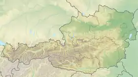
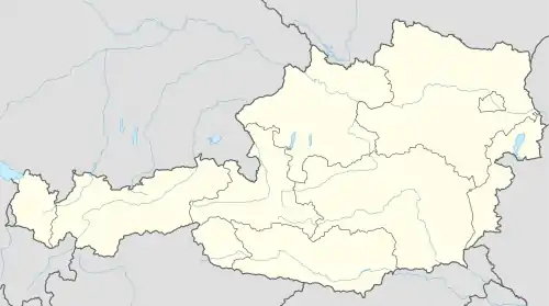
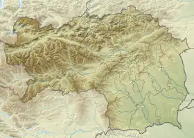
| Localisation | |
Géographie
Situation géographique
La commune de Sankt-Bartholomä est située à environ 15 km à l'ouest de Graz dans le district de Graz-Umgebung en Styrie occidentale. Le village est situé sur une hauteur surplombant le Liebochbach, un affluent du Kainach.
Divisions
Les divisions du villages sont (données 2011):
- Jaritzberg 496,95 ha / 583 habitants
- Lichtenegg 288,94 ha / 139 habitants
- Reiteregg - / 175 habitants
- St. Bartholomä 389,38 ha / 475 habitants
Communes limitrophes
Histoire
 Portail de l'Autriche
Cet article est issu de Wikipedia. Le texte est sous licence Creative Commons – Attribution – Partage à l’identique. Des conditions supplémentaires peuvent s’appliquer aux fichiers multimédias.