San Germán (Porto Rico)
La municipalité de San Germán, sur l'île de Porto Rico (Code International : PR.SG) couvre une superficie de 140 km2 et regroupe 37 105 habitants (au ).
| San Germán | |||
 |
 |
||
.jpg.webp) L'église Porta Coeli est le monument le plus reconnu de San Germán. | |||
| Administration | |||
|---|---|---|---|
| Pays | |||
| État libre associé | |||
| Démographie | |||
| Population | 37 105 hab. (2006) | ||
| Densité | 265 hab./km2 | ||
| Géographie | |||
| Coordonnées | 18° 04′ 53,86″ nord, 67° 02′ 41,64″ ouest | ||
| Altitude | 84 m |
||
| Superficie | 14 000 ha = 140 km2 | ||
| Localisation | |||
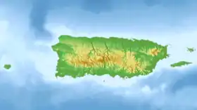
| Géolocalisation sur la carte : Porto Rico
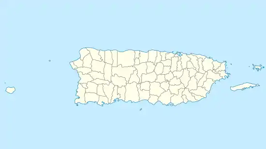
Géolocalisation sur la carte : Porto Rico
| |||
| Liens | |||
| Site web | www.municipiodesangerman.com | ||
Personnalités liées à la commune
- Benicio del Toro, né à San Germán en 1967.
Liens externes
- Ressource relative à la géographie :
 Portail de Porto Rico
Cet article est issu de Wikipedia. Le texte est sous licence Creative Commons – Attribution – Partage à l’identique. Des conditions supplémentaires peuvent s’appliquer aux fichiers multimédias.