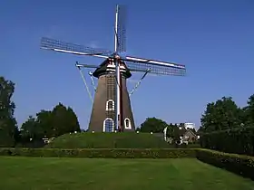
Laarbeek
Laarbeek est une commune des Pays-Bas de la province du Brabant-Septentrional.
| Laarbeek | ||||
 Armoiries. |
 Drapeau. |
|||
| ||||
| Administration | ||||
|---|---|---|---|---|
| Pays | ||||
| Province | Brabant-Septentrional | |||
| Code postal | 5735-5741 | |||
| Indicatif téléphonique international | +(31) | |||
| Démographie | ||||
| Population | 22 954 hab. (2022) | |||
| Densité | 411 hab./km2 | |||
| Géographie | ||||
| Coordonnées | 51° 40′ 00″ nord, 5° 25′ 00″ est | |||
| Superficie | 5 586 ha = 55,86 km2 | |||
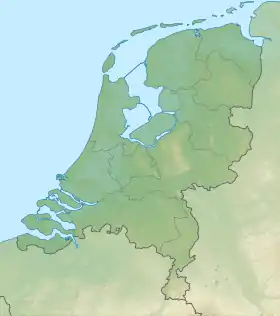
| Localisation | ||||
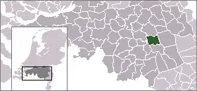
| ||||
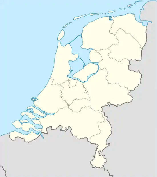
| Géolocalisation sur la carte : Pays-Bas
Géolocalisation sur la carte : Pays-Bas
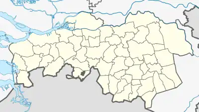
Géolocalisation sur la carte : Brabant-Septentrional
| ||||
| Liens | ||||
| Site web | www.laarbeek.nl | |||
Localités
Aarle-Rixtel, Achterbosch, Beek en Donk, Beemdkant, Broek, Croy, De Hei, Deense Hoek, Ginderdoor, Groenewoud, Heikant, Het Hool, Het Laar, 't Hof, Kruisschot, Lieshout, Mariahout, Scheepstal, Strijp, Wolfsputten.
Cet article est issu de Wikipedia. Le texte est sous licence Creative Commons – Attribution – Partage à l’identique. Des conditions supplémentaires peuvent s’appliquer aux fichiers multimédias.