Jabłonna Lacka (gmina)
Jabłonna Lacka est une gmina rurale du powiat de Sokołów, Mazovie, dans le centre-est de la Pologne.
| Gmina Jabłonna Lacka | ||||
| Administration | ||||
|---|---|---|---|---|
| Pays | ||||
| Voïvodie (Région) |
Mazovie | |||
| Powiat (District) |
Sokołów | |||
| Siège | Jabłonna Lacka | |||
| Démographie | ||||
| Population | 5 059 hab. (2006) | |||
| Densité | 34 hab./km2 | |||
| Géographie | ||||
| Coordonnées | 52° 28′ 39″ nord, 22° 26′ 34″ est | |||
| Superficie | 14 940 ha = 149,4 km2 | |||
| Localisation | ||||
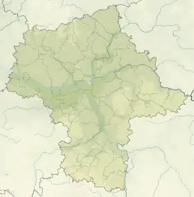
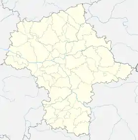
| Géolocalisation sur la carte : Voïvodie de Mazovie
Géolocalisation sur la carte : Voïvodie de Mazovie
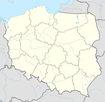
Géolocalisation sur la carte : Pologne
| ||||
| Liens | ||||
| Site web | www.jablonnalacka.com.pl/ | |||
Son siège administratif (chef-lieu) est le village de Jabłonna Lacka, qui se situe à environ 16 km au nord-est de Sokołów Podlaski (siège de la powiat) et 103 km à l'est de Varsovie (capitale de la Pologne).
La gmina couvre une superficie de 149,4 km2 pour une population de 5 059 habitants[1] en 2006.
Géographie
La gmina inclut les villages et localités de :
_location_map.png.webp)
Plan de la gmina
- Bujały-Gniewosze
- Bujały-Mikosze
- Czekanów
- Dzierzby Szlacheckie
- Dzierzby Włościańskie
- Gródek
- Gródek-Dwór
- Jabłonna Lacka
- Jabłonna Średnia
- Jabłonna-Kolonia
- Krzemień-Wieś
- Krzemień-Zagacie
- Łuzki
- Łuzki-Kolonia
- Mołożew-Wieś
- Morszków
- Niemirki
- Nowomodna
- Stara Jabłonna
- Teofilówka
- Toczyski Podborne
- Toczyski Średnie
- Tończa
- Wierzbice-Guzy
- Wierzbice-Strupki
- Wieska-Wieś
- Wirów
Gminy voisines
La gmina de Jabłonna Lacka est voisine des gminy suivantes :
Structure du terrain
D'après les données de 2002, la superficie de la commune de Jabłonna Lacka est de 149,4 km2, répartis comme telle :
- terres agricoles : 75%
- forêts : 19%
La commune représente 13,2% de la superficie du powiat.
Démographie
Données du :
| Description | Total | Femmes | Hommes | |||
|---|---|---|---|---|---|---|
| Unité | Nombre | % | Nombre | % | Nombre | % |
| Population | 5 127 | 100 | 2 659 | 51,9 | 2 468 | 48,1 |
| Densité (hab./km²) | 34,3 | 17,8 | 16,5 | |||
Annexes
Liens internes
Références
- (en) « Area and Population in the Territorial Profile in 2012 », Głowny Urząd Statystyczny
Cet article est issu de Wikipedia. Le texte est sous licence Creative Commons – Attribution – Partage à l’identique. Des conditions supplémentaires peuvent s’appliquer aux fichiers multimédias.