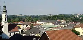
Helpfau-Uttendorf
Helpfau-Uttendorf est une commune (Marktgemeinde) autrichienne du district de Braunau am Inn, en Haute-Autriche.
| Helpfau-Uttendorf | ||||
 Héraldique |
||||
| ||||
| Administration | ||||
|---|---|---|---|---|
| Pays | ||||
| Land | ||||
| District (Bezirk) |
Braunau am Inn | |||
| Maire | Josef Johann Leimer (ÖVP) | |||
| Code postal | A-5261 | |||
| Immatriculation | BR | |||
| Indicatif | 43+ (0) 7724 | |||
| Code Commune | 4 04 13 | |||
| Démographie | ||||
| Population | 3 573 hab. ([1]) | |||
| Densité | 135 hab./km2 | |||
| Géographie | ||||
| Coordonnées | 48° 09′ 20″ nord, 13° 07′ 05″ est | |||
| Altitude | 419 m |
|||
| Superficie | 2 638 ha = 26,38 km2 | |||
| Localisation | ||||
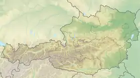
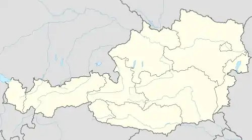
| Géolocalisation sur la carte : Autriche
Géolocalisation sur la carte : Autriche
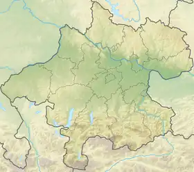
Géolocalisation sur la carte : Haute-Autriche
| ||||
| Liens | ||||
| Site web | [https://www.helpfau-uttendorf.at/ www.helpfau-uttendorf.at | |||
Géographie
La commune se situe sur la rivière Mattig dans l'Innviertel (région de l'Inn), la partie nord-ouest du Land de Haute-Autriche.
Références
- « Einwohnerzahl 1.1.2018 nach Gemeinden mit Status, Gebietsstand 1.1.2018 », Statistik Austria (en) (consulté le )
 Portail de l'Autriche
Cet article est issu de Wikipedia. Le texte est sous licence Creative Commons – Attribution – Partage à l’identique. Des conditions supplémentaires peuvent s’appliquer aux fichiers multimédias.