El Pan (canton)
El Pan est un canton d'Équateur situé dans la province d'Azuay.
| Canton d'El Pan | ||

| ||
| Administration | ||
|---|---|---|
| Pays | ||
| Province | ||
| Alcalde | Wilson R. Ramírez Rivas | |
| Démographie | ||
| Population | 3 036 hab. | |
| Densité | 23 hab./km2 | |
| Langue(s) | Español | |
| Géographie | ||
| Coordonnées | 2° 47′ 10″ sud, 78° 39′ 54″ ouest | |
| Altitude | 2 250 m |
|
| Superficie | 13 200 ha = 132 km2 | |
| Climat | de 12 à 30 °C | |
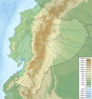
| Localisation | ||
.svg.png.webp) Carte du canton | ||
| Géolocalisation sur la carte : Équateur
| ||
Géographie
Références
 Portail de l’Équateur
Cet article est issu de Wikipedia. Le texte est sous licence Creative Commons – Attribution – Partage à l’identique. Des conditions supplémentaires peuvent s’appliquer aux fichiers multimédias.