District de Haridwar
Le district de Haridwar (hindi : हरिद्वार ज़िला) est un district de l'état de l'Uttarakhand, en Inde,
| District de Haridwar | ||
| ||
| Administration | ||
|---|---|---|
| Pays | ||
| État | Uttarakhand | |
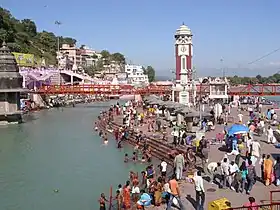
| Chef-lieu | Haridwar | |
| Fuseau horaire | IST (UTC+5:30) | |
| Indicatif | 01334 | |
| Démographie | ||
| Population | 1 447 187 hab. (2001) | |
| Densité | 613 hab./km2 | |
| Géographie | ||
| Coordonnées | 29° 58′ nord, 78° 10′ est | |
| Altitude | 249,7 m |
|
| Superficie | 236 000 ha = 2 360 km2 | |
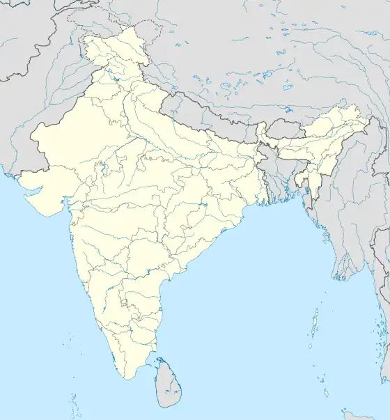
| Localisation | ||
.svg.png.webp)
| ||
| Géolocalisation sur la carte : Inde
| ||
| Liens | ||
| Site web | http://haridwar.nic.in/ | |
Géographie
Au recensement de 2011, sa population compte 1 447 187 habitants. Son chef-lieu est la ville de Haridwar.
Références
 Portail de l’Inde
Cet article est issu de Wikipedia. Le texte est sous licence Creative Commons – Attribution – Partage à l’identique. Des conditions supplémentaires peuvent s’appliquer aux fichiers multimédias.