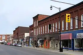
Brighton (Ontario)
Brighton est une municipalité ontarienne (Canada).
| Brighton | |
Héraldique |
|
| |
| Administration | |
|---|---|
| Pays | |
| Province | |
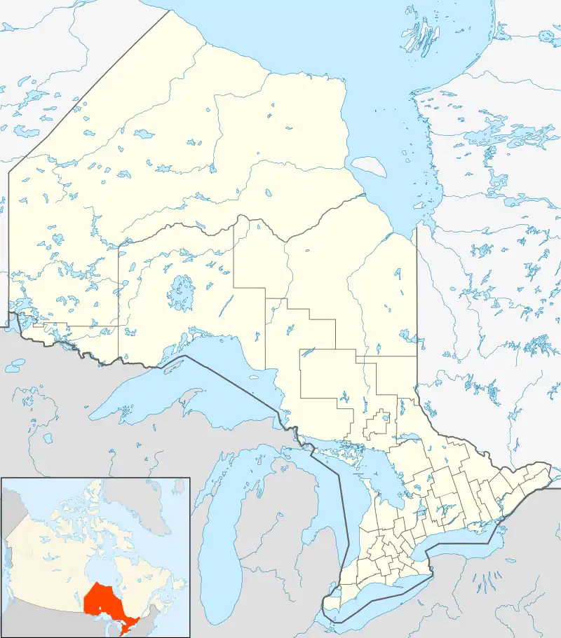
| Région | Comté de Northumberland |
Statut municipal |
Municipalité |
| Maire | Chris Herrington |
| Démographie | |
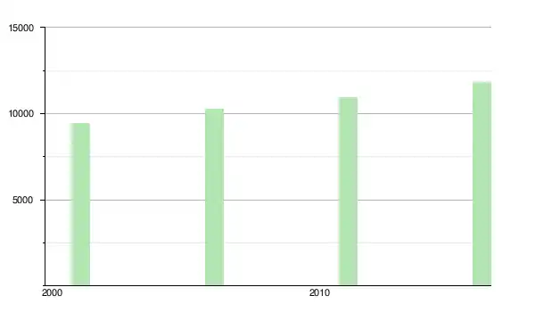
| Population | 10 253 hab. (2006) |
| Densité | 46 hab./km2 |
| Géographie | |
| Coordonnées | 44° 02′ 00″ nord, 77° 44′ 00″ ouest |
| Superficie | 22 200 ha = 222 km2 |
| Divers | |
| Langue(s) parlée(s) | Anglais |
| Fuseau horaire | UTC-5 |
| Indicatif | +1-905 |
| Code géographique | 35 14004 |
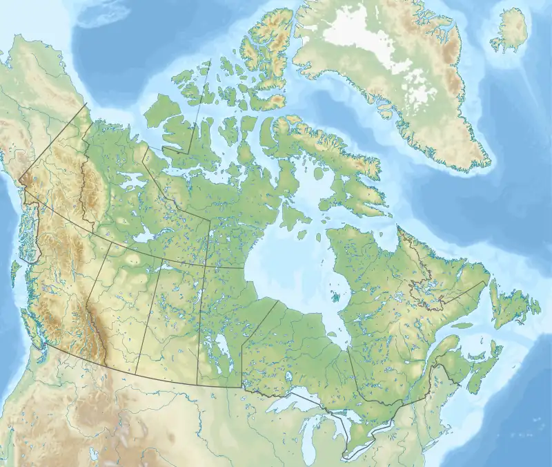
| Localisation | |
| Liens | |
| Site web | http://www.brighton.ca |
Le territoire sur lequel se situe aujourd'hui la commune de Brighton appartenait à l'origine aux peuples de Mississauga (parlant l'anishinaabe)[1].
Démographie
Références
- Copy of the treaty made October 31, 1923 between his Majesty the King and the Chippewa Indians of Christian Island, Georgina Island and Rama Reprinted 1967. ©Roger Duhamel, F.R.S.C.. Queen's Printer And Controller Of Stationery, Ottawa, 1967. Cat. No.: R33-1467. IAND Publication No. QS-0582-000-EE-A-17 https://www.aadnc-aandc.gc.ca/eng/1100100029004/1100100029017
- « Statistique Canada - Profils des communautés de 2006 - Brighton » (consulté le )
- « Statistique Canada - Profils des communautés de 2016 - Brighton » (consulté le )
 Portail de l’Ontario
Cet article est issu de Wikipedia. Le texte est sous licence Creative Commons – Attribution – Partage à l’identique. Des conditions supplémentaires peuvent s’appliquer aux fichiers multimédias.