Anantapur
Anantapur est une ville indienne située dans le district d'Anantapur, dans l'État de l'Andhra Pradesh. En 2011, sa population était de 261 004 habitants.
| Anantapur | |||||

| |||||
| Administration | |||||
|---|---|---|---|---|---|
| Pays | |||||
| État ou territoire | Andhra Pradesh | ||||
| District | District de Anantapur | ||||
| Index postal | 515001 | ||||
| Fuseau horaire | IST (UTC+05:30) | ||||
| Indicatif | +91-8554 | ||||
| Démographie | |||||
| Population | 261 004 hab. (2011) | ||||
| Densité | 5 495 hab./km2 | ||||
| Géographie | |||||
| Coordonnées | 14° 41′ nord, 77° 36′ est | ||||
| Altitude | 335 m |
||||
| Superficie | 4 750 ha = 47,50 km2 | ||||
| Localisation | |||||
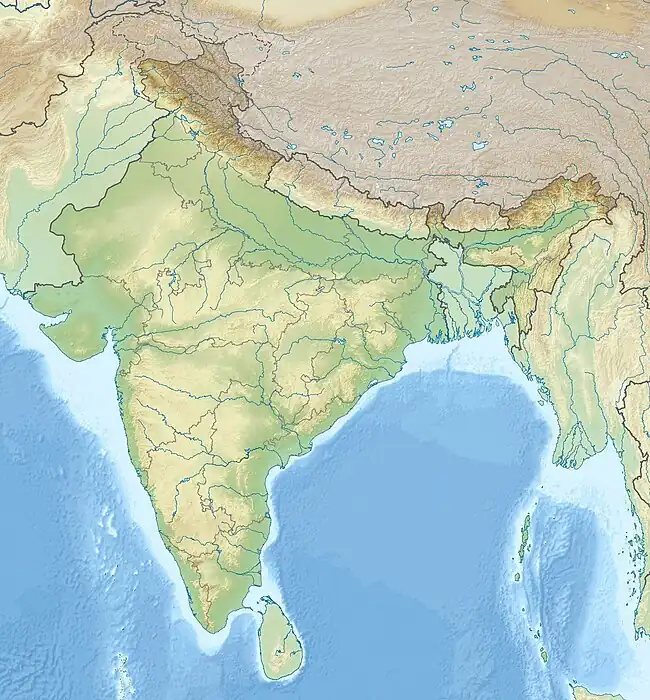
| Géolocalisation sur la carte : Inde
Géolocalisation sur la carte : Inde
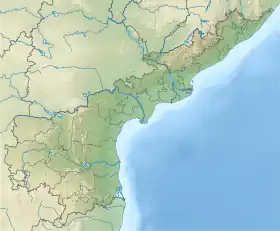
Géolocalisation sur la carte : Andhra Pradesh
Géolocalisation sur la carte : Andhra Pradesh
| |||||
| Liens | |||||
| Site web | http://cdma.ap.gov.in/Anantapur/ | ||||
.svg.png.webp)
Source de la traduction
- (en) Cet article est partiellement ou en totalité issu de l’article de Wikipédia en anglais intitulé « Anantapur, Andhra Pradesh » (voir la liste des auteurs).
 Portail de l’Inde
Cet article est issu de Wikipedia. Le texte est sous licence Creative Commons – Attribution – Partage à l’identique. Des conditions supplémentaires peuvent s’appliquer aux fichiers multimédias.